Little Sioux Watershed Partnership
  • Home
  • Learn about the Watershed
  • Recreation
  • Landowners
  • Partners
  • About our Organization
  • Projects and Success Stories
Please donate here to support our work! (Donation Code "LSWCP")

Little Sioux River Valley Conservation Action Plan

Click on the file to the right to learn more about our Conservation Action Plan in the Little Sioux Watershed.
Little Sioux Conservation Action Plan.pdf
File Size: 2804 kb
File Type: pdf
Download File

Picture

The River and the Watershed

The Little Sioux River watershed is comprised of 1.5 million acres. The headwaters are located in Nobles and Jackson counties in Minnesota. It flows into the Missouri River near Little Sioux, Iowa. The Little Sioux River is designated as a State Protected Water Area and is home to the Inkpaduta Canoe Trail. Additionally, it is a destination location for outdoor recreation such as fishing, bird watching, and hiking.

Archaeology

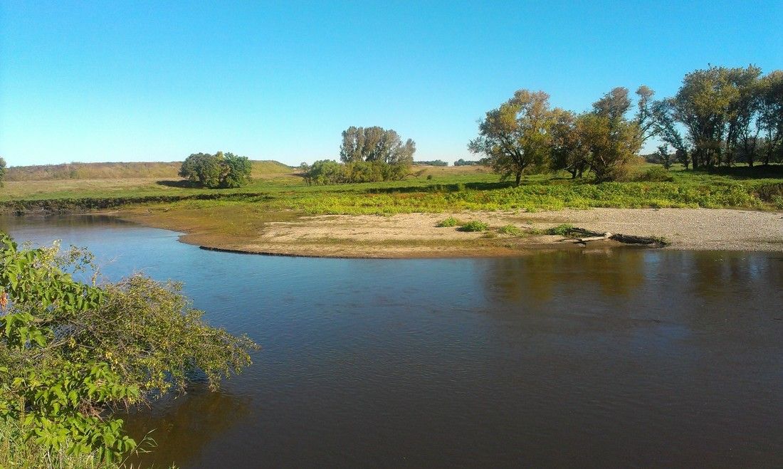
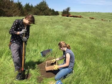
People have lived in the Little Sioux Watershed for thousands of years. There are more than 300 archaeological sites in the watershed ranging from 8,000 year old bison kill sites to compact villages with fortification.
This watershed is most notable for a unique cultural resource – the ancient settlements of the Mill Creek Culture.  Settlements dating back to A.D. 1000-1200 have been documented along the Little Sioux River and three tributaries – Brooke Creek, Mill Creek and Waterman Creek.  One settlement, the Wittrock Indian Village located along Waterman Creek, is now a dedicated state preserve.  
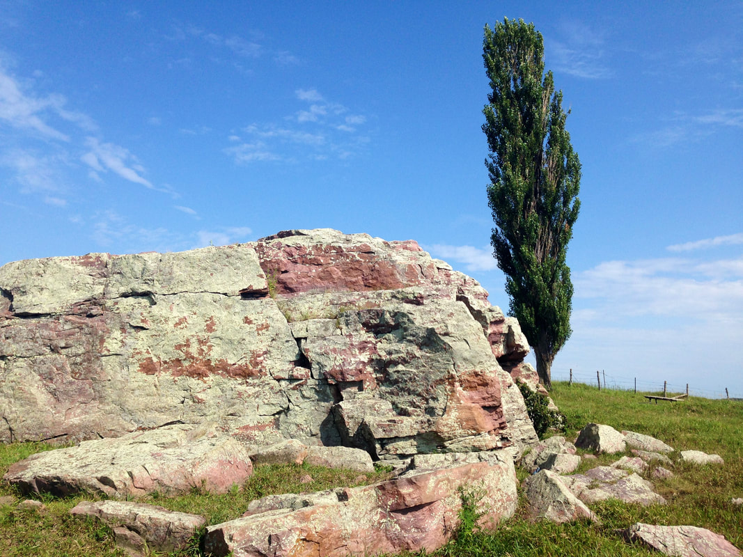
Picture
Picture

Ecology

Once dominated by native tallgrass prairie, much of this area has been converted to row crop agriculture; however, native prairie remnants, pothole wetlands, rare calcareous fens, and oak savannas still exist within the watershed. The project area contains all or part of 11 Iowa counties - Osceola, Dickinson, Emmet, Palo Alto, O’Brien, Clay, Buena Vista, Cherokee, Plymouth, Woodbury and Ida – from the Minnesota border south to Iowa’s Loess Hills - and is home to Iowa's second largest remaining concentration of native prairie remnants.

Geology

​Beginning in southern Minnesota, the Little Sioux River meanders through sand and gravel deposits left behind by glaciers over 10,000 years ago. 
Dramatic topography, including towering river bluffs and steep valleys, was created when a glacial ice dam broke, changing the river's course from east to west. This is best demonstrated at the intersection of Buena Vista, Cherokee, Clay, and O'Brien Counties near Peterson.

Pilot Rock (featured in the photo on the right), located in the Little Sioux Watershed, is one of the biggest glacial erratics in the state of Iowa. 


​
Picture

Contact Us

    Please enter your email address to get on our mailing list.

Submit
  • Home
  • Learn about the Watershed
  • Recreation
  • Landowners
  • Partners
  • About our Organization
  • Projects and Success Stories